
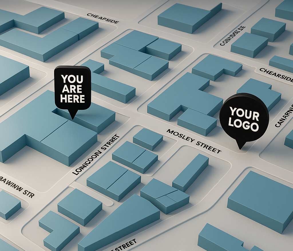
Enhanced GIS Map with Photo Editing
£249.99
For businesses and organisations that need maps with a professional, branded finish.
Includes:
Everything in Custom GIS Map Tier, plus:
Advanced styling and photo editing for a polished, publication-ready map.
Custom icons, labels, and colour schemes tailored to your brand.
Up to 4 layers of information (e.g., transport, boundaries, POIs, zones).
Exported in high-resolution (PDF/PNG) for print, web, or presentations.
Optional 1 Revision.
LJC Mapping
High-detail GIS mapping and photo editing services.
LJC Mapping is a specialised mapping company that creates accurate, efficient, and tailored maps designed to fulfill your distinct needs. Whether for urban planning, tourism, or business purposes. With the use of GIS and photo editing, whatever your desired outcome is for you maps, we can achieve it. Supported by more than a decade of experience.
Free Consultation
© 2025. All rights reserved.
Some maps produced by LJC Mapping include data from © OpenStreetMap contributors. Data available under the Open Database License (ODbL).
Imagery © Google Earth, used for reference only.
