LJC Mapping is a specialised mapping company that creates accurate, efficient, and tailored maps designed to fulfill your distinct needs. Whether for urban planning, tourism, or business purposes. With the use of GIS Mapping and photo editing, whatever your desired outcome is for your maps, we can achieve it. Supported by more than a decade of experience.


Custom maps designed to your exact needs
Fast turnaround with reliable delivery
Affordable packages to suit every budget
Professional finish with optional photo editing
Flexible formats (PDF, PNG, JPEG, SHP, etc.)
Our Tiered Pricing Model
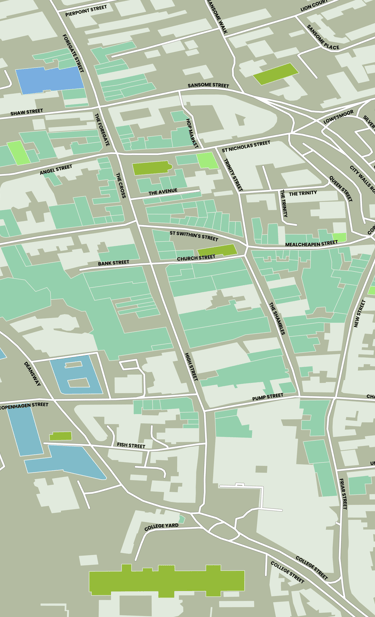
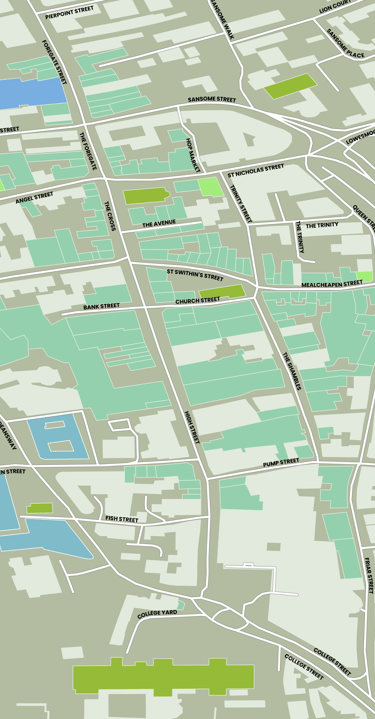
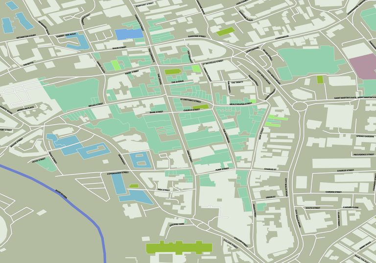
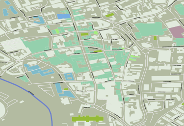
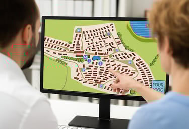
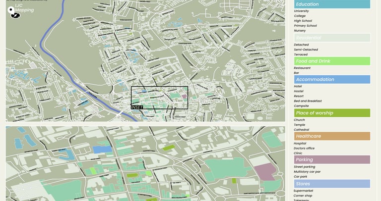
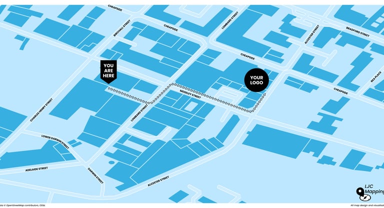
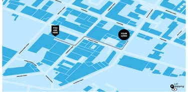
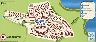
High-detail maps created using GIS and photo editing software for various applications.
Please contact us prior to purchasing to arrange consultation.


One custom static map (delivered as high-quality PDF or PNG).
Choice of base style (e.g., street, terrain, or satellite-inspired).
Up to 2 layers of information (e.g., roads, boundaries, or points of interest).
Optional 1 Revision.
Everything in the Custom GIS Map Tier, plus:
Advanced styling and photo editing for a polished, publication-ready map.
Custom icons, labels, and colour schemes tailored to your brand.
Up to 4 layers of information (e.g., transport, boundaries, POIs, zones).
Exported in high-resolution (PDF/PNG) for print, web, or presentations.
Optional 1 Revision.
Everything in the Enhanced GIS Map Tier, plus:
A ZIP folder containing:
Original QGIS project files (.qgz)
All shapefiles/GeoJSON/QuickOSM data used
Edited graphic assets (from your photo editing software)
Exported map files (high-res PDF/PNG)
Full rights to edit and reuse the files internally.
Up to 2 rounds of revisions.


Portfolio
Explore our work.


LJC Mapping
High-detail GIS mapping and photo editing services.
LJC Mapping is a specialised mapping company that creates accurate, efficient, and tailored maps designed to fulfill your distinct needs. Whether for urban planning, tourism, or business purposes. With the use of GIS and photo editing, whatever your desired outcome is for you maps, we can achieve it. Supported by more than a decade of experience.
Free Consultation
© 2025. All rights reserved.
Some maps produced by LJC Mapping include data from © OpenStreetMap contributors. Data available under the Open Database License (ODbL).
Imagery © Google Earth, used for reference only.